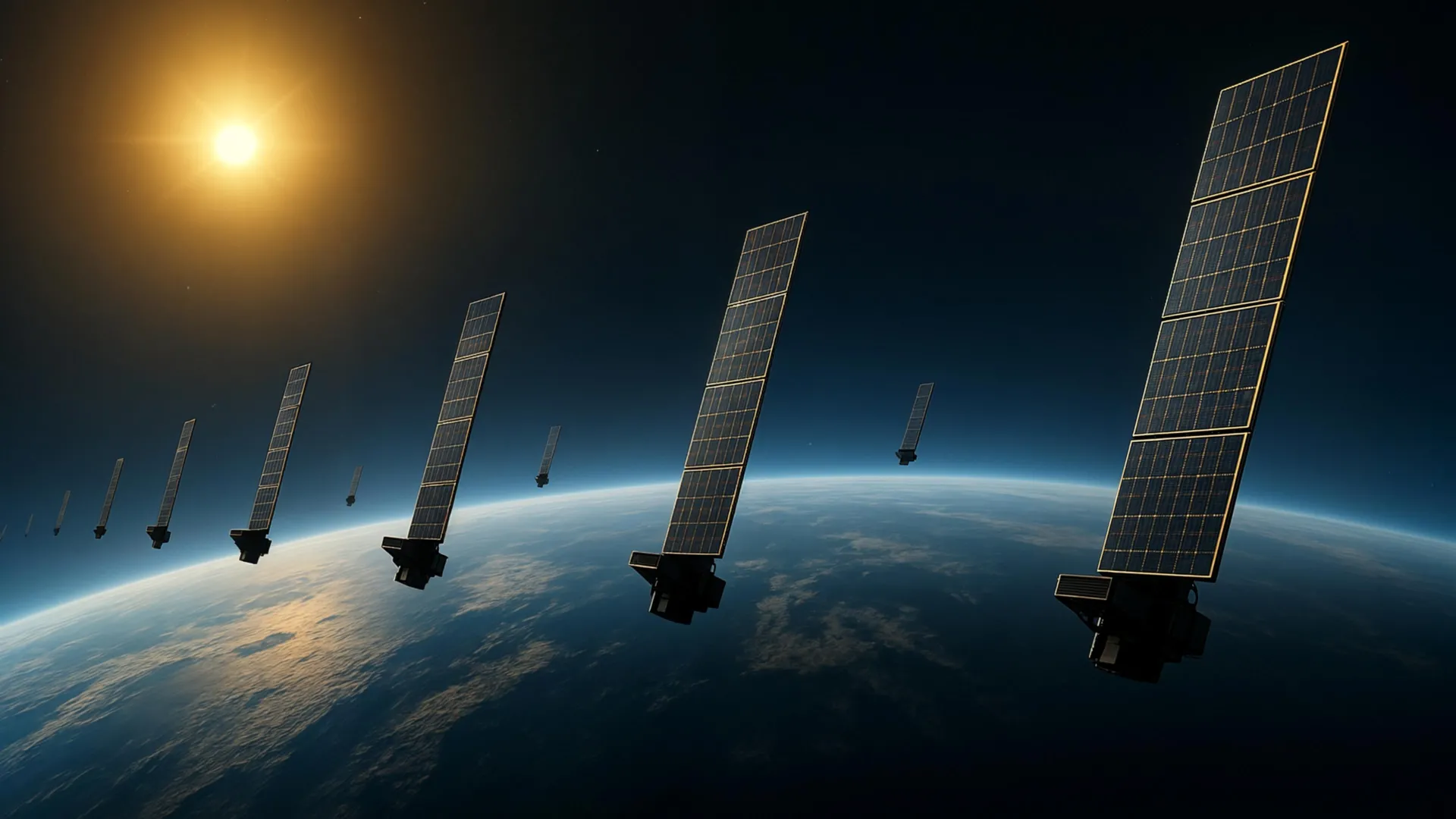
Scientists at Kyoto University have developed a method to map the thermosphere — the neutral upper atmosphere between about 100 and 1,000 kilometers above Earth — using publicly available orbital data from Starlink satellites. The region is difficult to observe directly because it consists almost entirely of electrically neutral gas that does not interact strongly with radio waves.
The team analyzed gradual orbital decay caused by atmospheric drag on approximately 1,200 Starlink satellites flying near 482 kilometers altitude. Applying tomography, a technique common in medical imaging, they reconstructed a two-dimensional latitude-longitude snapshot of thermospheric density at roughly 500 kilometers.
This represents the first tomographic analysis of its kind, according to the researchers. The resulting density patterns showed strong consistency with measurements from the European Space Agency's SWARM satellites, which sample density along their orbital tracks.
The work builds on an earlier study by the same group that used Two-Line Element data from Starlink to estimate how thermospheric density changes over time and altitude. The new analysis adds horizontal variation across latitude and longitude, revealing more of the thermosphere's geographic structure.
Corresponding author Mamoru Yamamoto described the project as a multidisciplinary effort between space science and space engineering. He noted that deeper dialogue between the two fields was necessary to develop the approach.
More accurate thermospheric density data can improve predictions of satellite motion, which is increasingly important as low Earth orbit grows more crowded with satellites and debris. Better forecasting helps reduce the risk of collisions.
The technique could eventually support near-real-time monitoring of atmospheric density around satellites. Such capability would enhance space weather forecasting and contribute to safer, more dependable satellite operations.
The study was published in Earth, Planets and Space in 2026.
Scientists turn Starlink into a giant scanner for Earth’s upper atmosphere
This is an independent summary. The complete reporting, supporting context and any primary documents remain with ScienceDaily.